Current location:Home > Application > Uav
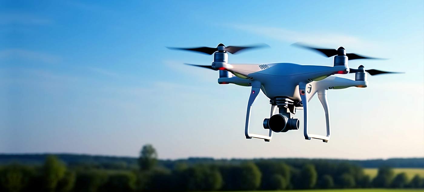
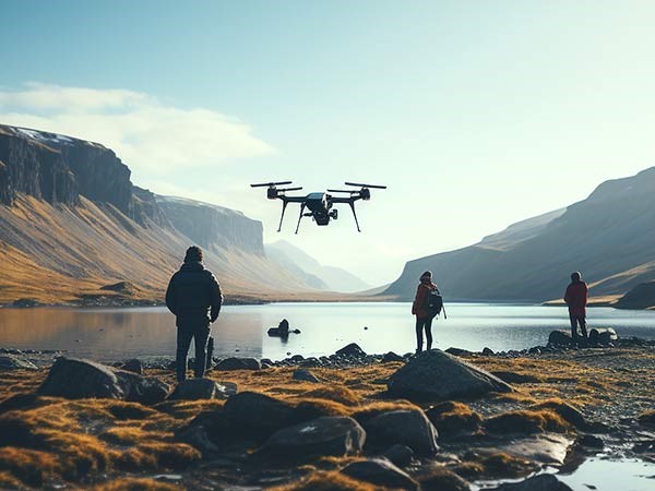
At present, the application scenarios of drones have expanded from aerial photography and entertainment to industries such as surveying and mapping, inspection and security, logistics transportation, agriculture, forestry and plant protection, greatly improving the work efficiency and completion quality of different industries under special operational requirements, and further reducing operational costs.

Geological surveying and mapping
Electric power inspection
River regulation

Drone aerial survey is widely used in geology, and can be used in geological exploration, geological hazard monitoring, mining area management, and other aspects. Specifically, drone aerial surveys can obtain surface information through high-resolution remote sensing images, providing accurate geological and geomorphic information for geological exploration;

The unmanned aerial vehicle intelligent inspection system can achieve high-altitude aerial photography, nighttime monitoring, precise positioning, and real-time data transmission through technologies such as autonomous navigation, high-definition cameras, and infrared thermal imaging, effectively solving various limitations of human power inspection and greatly improving the efficiency and accuracy of power inspection.

Drones can be used for auxiliary supervision of suspected illegal buildings, illegal planting and development, illegal sand mining, and other events within the jurisdiction of water conservancy projects. They extract information on the location and scope of illegal activities, provide technical support for water law enforcement management, and achieve early detection, prevention, and handling of illegal and irregular behaviors.
Jinwei Jidian's GNSS high-precision positioning module can provide centimeter level real-time positioning accuracy, supporting high-precision positioning and orientation solutions with single board dual antenna or dual board dual antenna. It can achieve mobile relative positioning and meet the needs of different types of drone flight control systems.
 Xianggong Bei 43019002001859 Business License Map
